Utah Mighty 5
Self-drive loop · best March, April, May, October · free to read, day by day
- days
- 7
- km
- 986
- stops
- 19
- drive / day
- 1h 46m
A comprehensive loop through Utah's red rock country, covering Zion, Bryce Canyon, Capitol Reef, Arches, and Canyonlands. This route balances iconic hikes with scenic drives, ensuring manageable daily travel times and maximum immersion in the desert landscape.
Curated by Lance · drove it, filmed it
updated Oct 2026
Highlights
tap a card to see that dayThe route
Tap a day or a townYou sleep in Springdale 1 night · Bryce Canyon City 1 night · Torrey 1 night · Moab 1 night · Monticello 1 night · Kanab 1 night — start and end in St. George.
What the in-car version adds
Tap-to-navigate, every stop
Opens Google Maps or Apple Maps, in order.
Works with no signal
Download the PDF once: every day, stop and drive time.
Your own trip to change
Shorten it, swap stops or ask AI to adjust it.
Cost estimate
Fuel, rental car and stays for this route.
What to book, and when
Tours, ferries and stays that sell out.
Day by day
all free to readZion Canyon's Towering Sandstone Walls
69 km · 1h 3m driving · overnight in Springdale
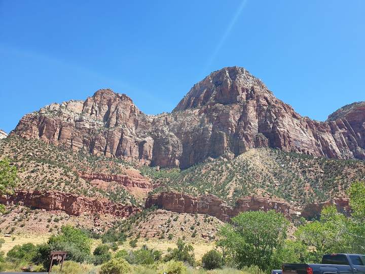
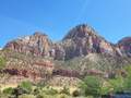
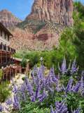
The journey begins with a short drive into the heart of Zion, focusing on the dramatic scale of the canyon walls. Use the park shuttle system to access the main trailheads efficiently.
 1St. George
 2Zion Canyon
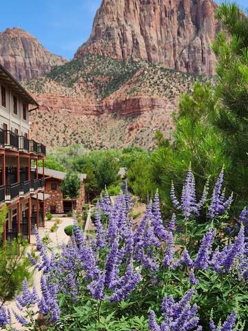
 3Springdale
Hoodoos and High Plateaus
141 km · 1h 58m driving · overnight in Bryce Canyon City
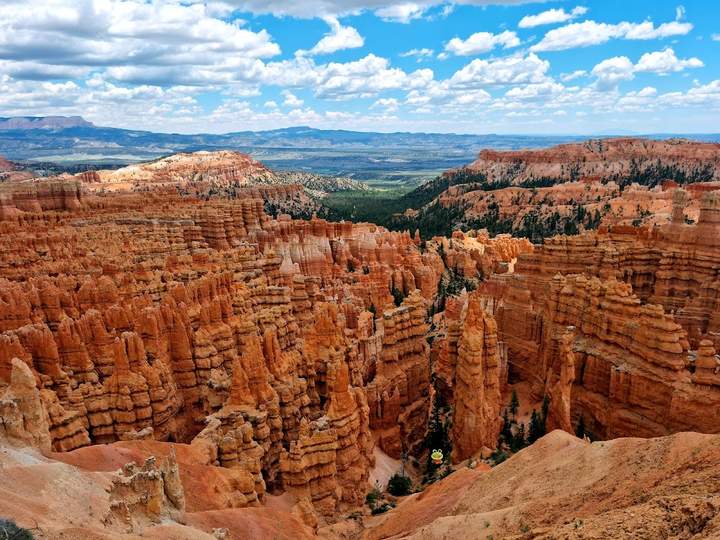
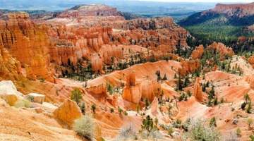
Transition from deep canyons to high-altitude plateaus where the landscape shifts to intricate rock spires. Arriving at the rim before dusk allows for the best light over the amphitheater.
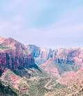 1Canyon Overlook
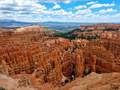 2Sunset Point
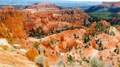 3Bryce Canyon City
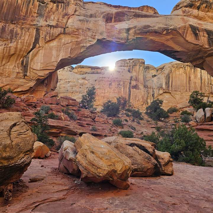
Scenic Byway 12 to Capitol Reef
198 km · 2h 37m driving · overnight in Torrey
Drive along Highway 12, a route known for its steep grades and expansive wilderness views. The pace is slower today to accommodate the winding roads leading into Capitol Reef.
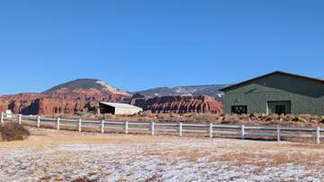
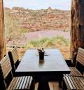 1Kiva Coffeehouse
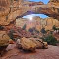 2Hickman Bridge
 3Torrey
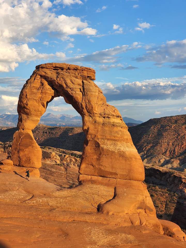
Arches National Park Icons
303 km · 3h 23m driving · overnight in Moab
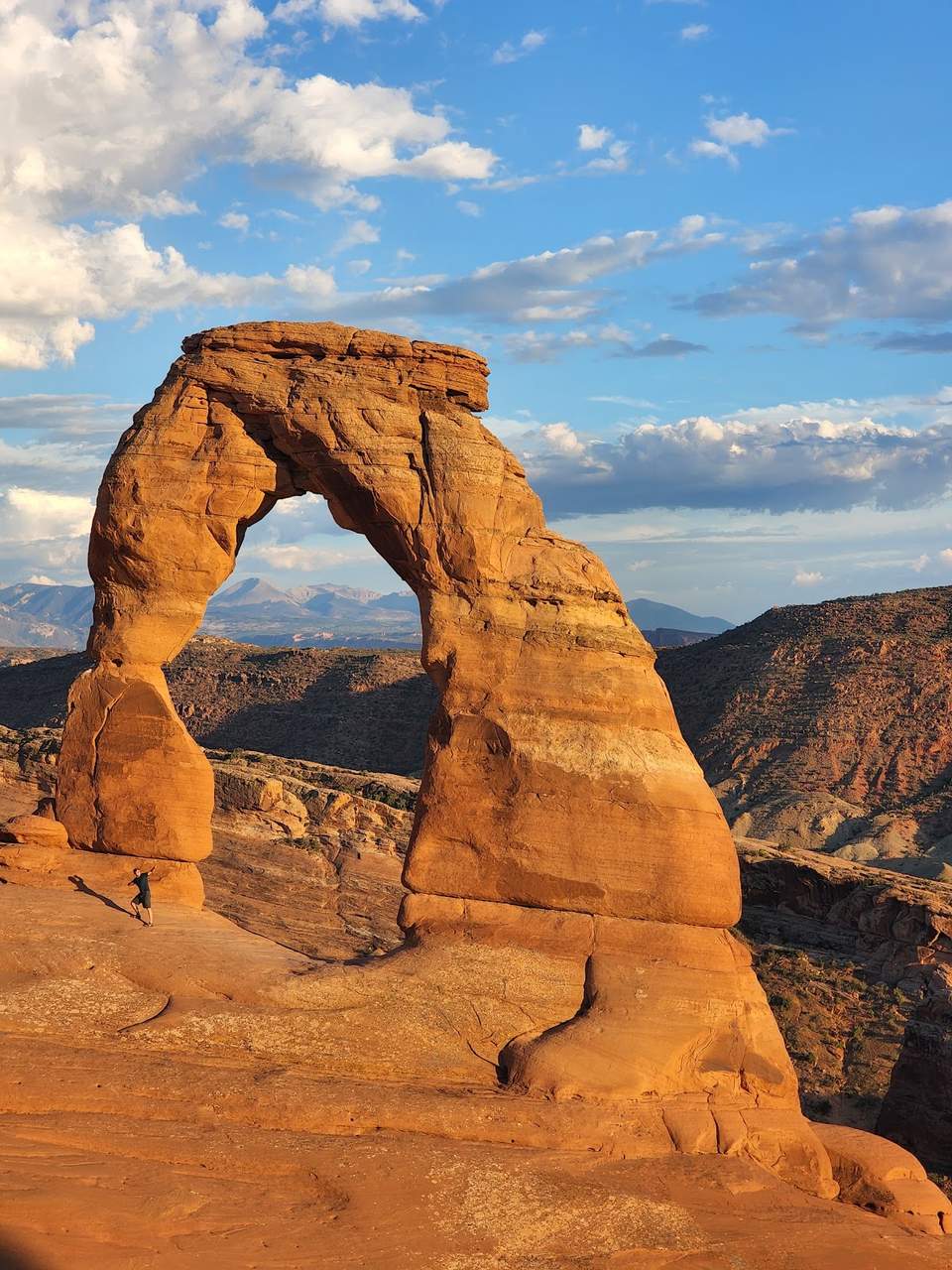
Head for Moab by way of the hoodoos of Goblin Valley. The Delicate Arch trail is a steady uphill walk with little shade, so carry water and check whether Arches needs a timed-entry reservation for your date.

 1Goblin Valley
 2Delicate Arch
 3Moab
3Moab
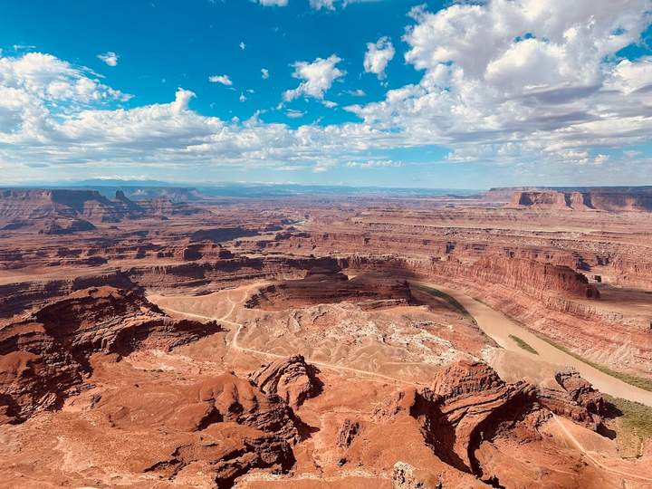
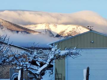
Canyonlands Island in the Sky
89 km · 1h 13m driving · overnight in Monticello
Explore the elevated mesas of Canyonlands which offer panoramic views of the surrounding river corridors. The driving distances are shorter, allowing more time for photography at the overlooks.
 1Mesa Arch
 2Dead Horse Point
 3Monticello
Monument Valley and Red Rock Vistas
153 km · 1h 40m driving · overnight in Kanab
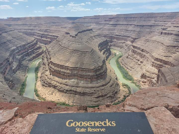
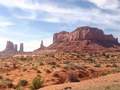
Cross into the Navajo Nation for the long, empty roads around Monument Valley and the Goosenecks of the San Juan. Fill the tank when you can, because services are far apart until Kanab.
 1Forrest Gump Point
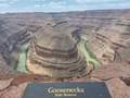 2Goosenecks
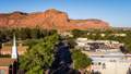 3Kanab
Coral Pinks and Return to St. George
33 km · 27m driving · end of trip
The final leg visits shifting sand dunes before returning to the starting point. The short distance makes for a relaxed conclusion to the desert circuit.
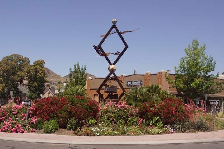
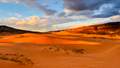 1Coral Pink Sand Dunes
- 2St. George
Not booking yet? Get the free map
Included
- Tap-to-navigate for all 19 stops
- Offline PDF for no-signal stretches
- Unlimited AI edits for 30 days: days, stops, pace
- Cost estimate: fuel, car and stays
- Booking timeline with deadlines
Not included
- Rental car
- Accommodation
- Fuel
- Entry tickets and paid activities
Know before you go
Season
Best in spring (March to May) and October. Summer brings intense heat and crowds; winter can bring snow and ice to high roads such as Bryce Canyon and Scenic Byway 12.
Local rules
Inside the national parks, drive and park only on paved or designated roads and stay off the fragile soil crust. Arches has used timed-entry reservations in peak months, so check recreation.gov for your dates.
Activity level
Expect moderate physical demand with many stops requiring walks on uneven sandstone or steep inclines to reach viewpoints.
Currency
United States Dollar (USD). Credit and debit cards are accepted at almost all locations including park entrances.
Power plugs
Type A and B plugs, 120V at 60Hz.
Time zone
Utah is on Mountain Time (UTC−7, UTC−6 with daylight saving from March to November). Arizona does not change its clocks, except on the Navajo Nation around Monument Valley.
Language
English is the primary language and is used for all signage and services.
Heads up
- Day 6: 5h 19m driving — plan rest stops
- Arches National Park uses timed-entry reservations in parts of the year; check NPS.gov and book ahead if your dates fall in that window.
- Carry at least one gallon of water per person per day, especially during summer months.
- Check NPS.gov for flash flood warnings before entering any slot canyons or washes.
- The drive between Torrey and Bryce via Highway 12 is steep and winding; allow extra time.
Need Lance to build it by hand?
Different dates, another start city, a mix of regions. Delivered within 48 hours.
Questions
$9.99
This trip · unlimited edits for 30 days · One-time payment. No subscription.